About Us
Founded in 2022, Aphelion world set out to bring Earth Observation technology to our everyday decisions by providing information about the earth and its infrastructure. By using remote sensing and photogrammetry, Aphelion brings information about the world to our everyday lives for informed decisions to be made. Stationed in Pretoria, Aphelion world seeks to solve every day challenges using Earth Observation
Services
We provide the following professional services
Earth Observation Mission Ground Segment
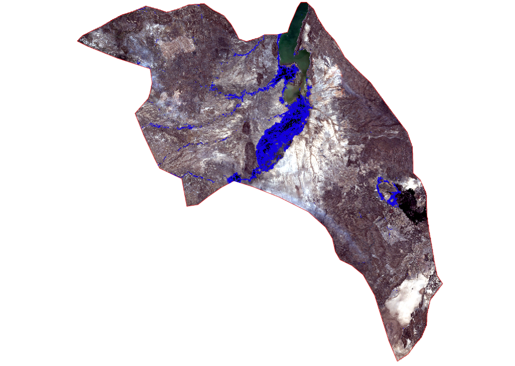
For any Earth Observation Mission to succeed, efficient and accurate processing of mission data to image products is vital. Aphelion implements custom ground segment processing software and Data management systems required for processing and managing the large volumes of data captured by space borne sensors.
Learn morePhotogrammetry and Remote Sensing
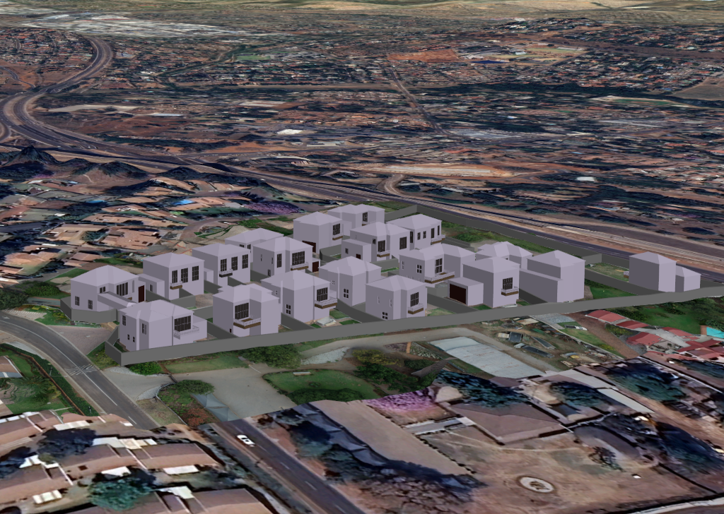
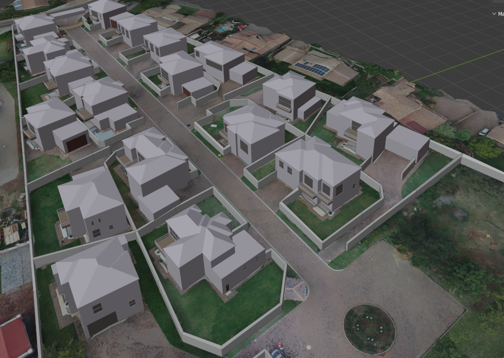
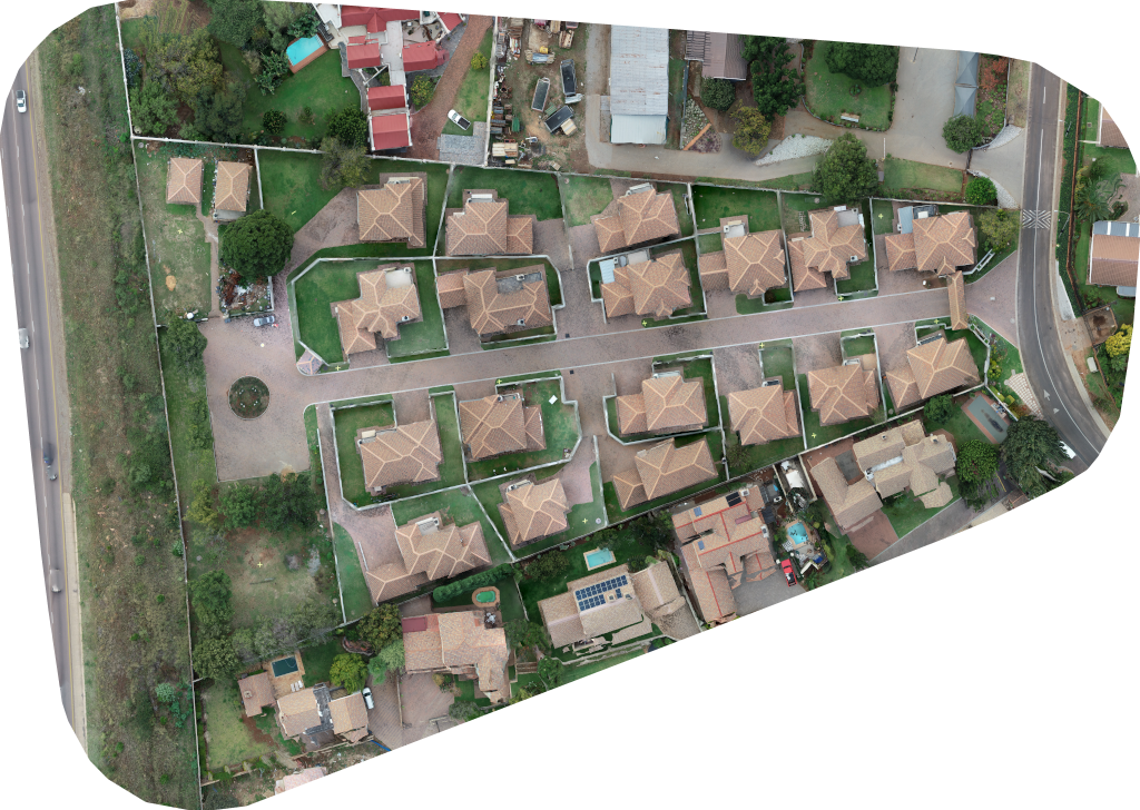
We have a wide range of expertise from creating orthophotos, mosaics, thematic maps for forestry, precision farming to creating 3D maps and models of urban infrastructure. Using imagery, Aphelion processes images using photogrammetry to produce high quality maps and models of urban and natural environments.
Learn more3D Modelling and Mapping
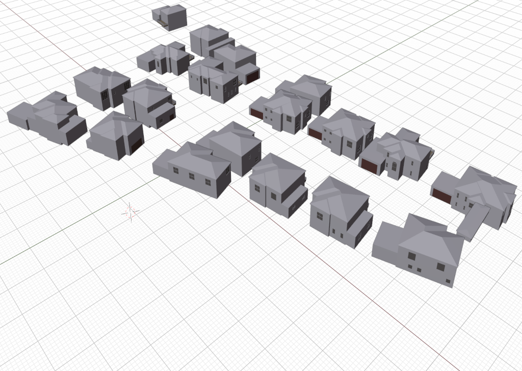
More applications are now leveraging the third dimension in understanding the world we live in and producing accurate information for key decision making. As-Build 3D model production, Building Information Modelling, Virtual Reality, 3D heritage documentation are the application areas we specialise in.
Learn moreImage Processing Services
Whether your requirement is large area mapping, feature detection or classification, we have a solution for you. By leveraging on Artificial intelligence, we produce various image by products for Earth Observation, Computer Vision and Industrial Metrology.
Learn moreGeospatial Applications Development
Key decisions are delivered with the assistance of intelligent systems that serve information about our environment that is vital for decision makers. We develop spatially enabled web, desktop and android apps for various industries. From Change detection to infrastructure monitoring and reporting applications, aphelion has a solution that will serve your needs.
Learn moreConsulting Services
We offer consulting services for Earth observation, Remote Sensing and Photogrammetry, Computer Vision, Geospatial Applications and Artificial Intelligence for Earth Observation. We provide tailor made solutions to suit your everyday needs.
Learn moreProjects
Here are some of the projects we have embarked on as Aphelion World
Change Detection Application
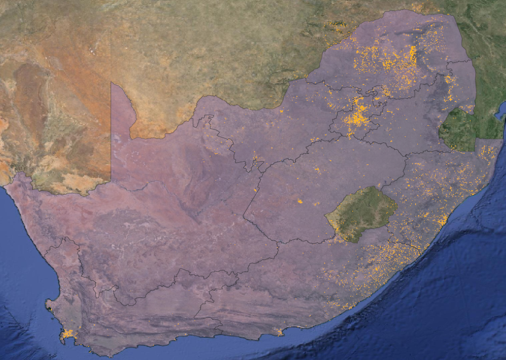
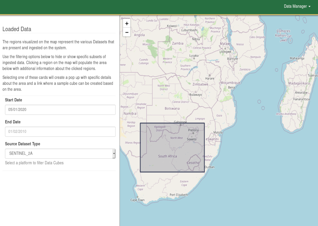
Centralised access to decision making tools is vital for any organisation. Our recently developed web based change detection application allows the tracking of any changes in human settlements and urban infrastructure.
Building Information Modelling
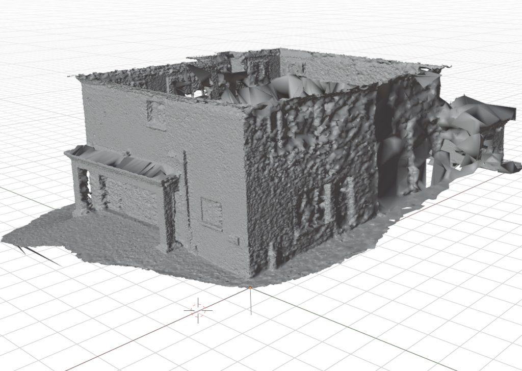
We created detailed 3D building models that are currently used to document building assets. By combining terrestrial and aerial photogrammetry, we were able to produce detailed IFCs models for (Building Information Modelling) built up infrastructure.
Forest Inventory Asssment
Most forestry applciations require an inventory or biomass estimation to address various needs. We recently developed a tree count and density estimation application to estimate the quantity of trees,and consequently the fuel load from the trees. in addition, change detection in forested areas were identified
Geospatial Software Development
The value of Earth Observation lies in the ability to develop system that derive usefull information from data captured from various space borne and ground based platforms. We develop applications that derive and present usefull information required by decision makers in various spheres.
TECHNOLOGY
We use a wide range of technologies to create the most accurate information
Photogrammetry and Remote Sensing
Photogrammetry and remote sensing provide the most cost effective methods for large area mapping and information gathering. From creating large mosaics, classification using deep learning and 3D modelling from stereo images, we have a solution that suits every application
Point Cloud Processing
From point clouds to useful geometry. We offer point cloud processing services to extract the information you require.
AR and VR and Simulation
Virtual Reality has become the new norm as people explore new avenues of living. Simulations allows for distater mitigation, planning and tracking. We offer the data required for your various AR and VR applications.
Artificial Intelligence
Workflow optimisation using Artificial Intelligence has been the backbone of various efficient systems. By using well trained deep learning algorithms, we deliver efficient solutions for your business.
Spatial Databases
For all your gespatial data storage and management, we have a data management solution for you.
Our Address
Pretoria East, Gauteng
South Africa
Email Us
info@aphelionworld.co.za
Call Us
+27 67 406 0966
+27 12 991 4808

